Portfolio a collection of data analysis, cartography, and interactive web maps.
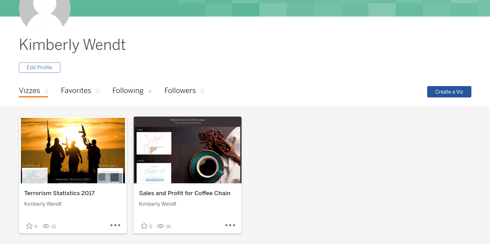
Tableau Dashboards
Data Visualization
A collection of dashboards from my Masters program.
View ProjectInteractive Map Gallery
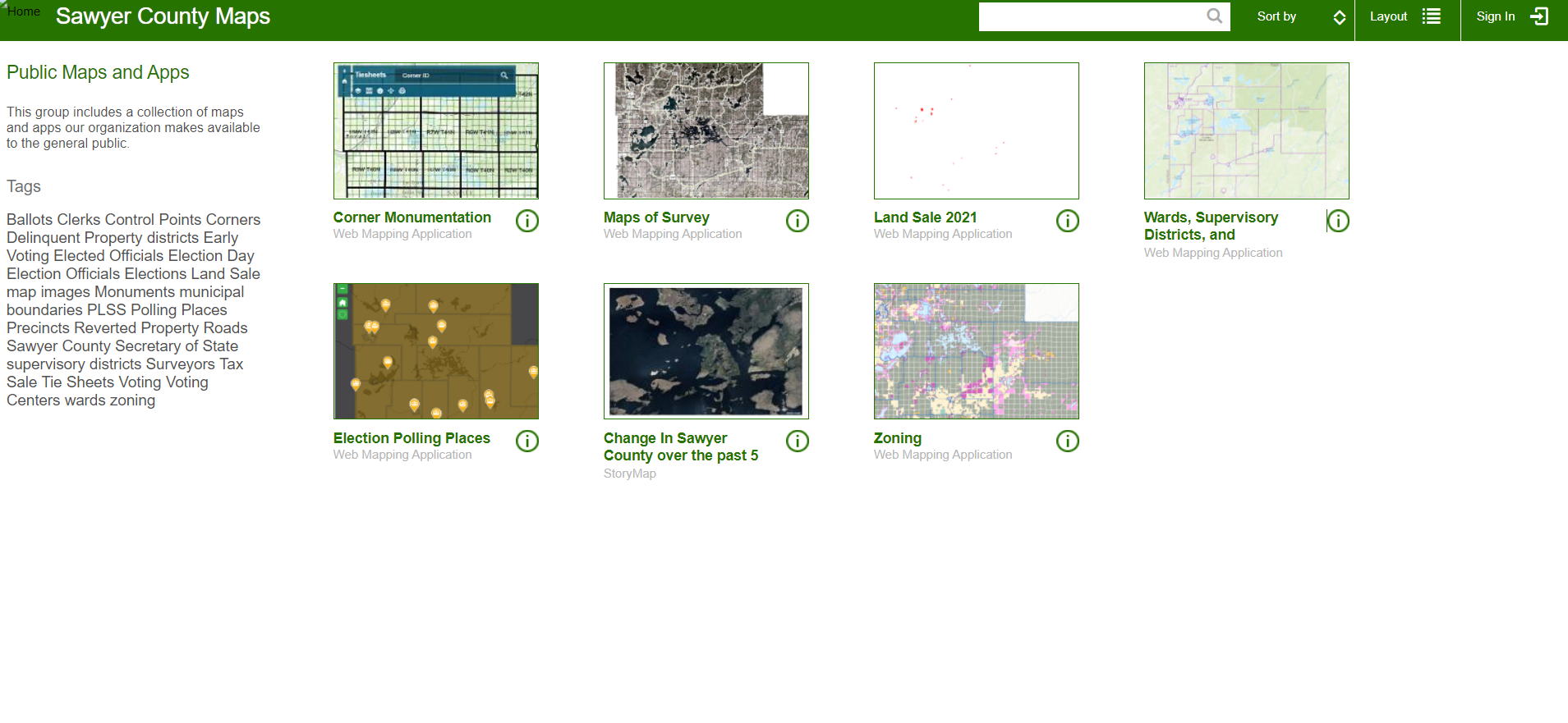
Web Maps
My coworker and I created the county's first online map gallery filled with various interactive maps.
View ProjectSurvey123
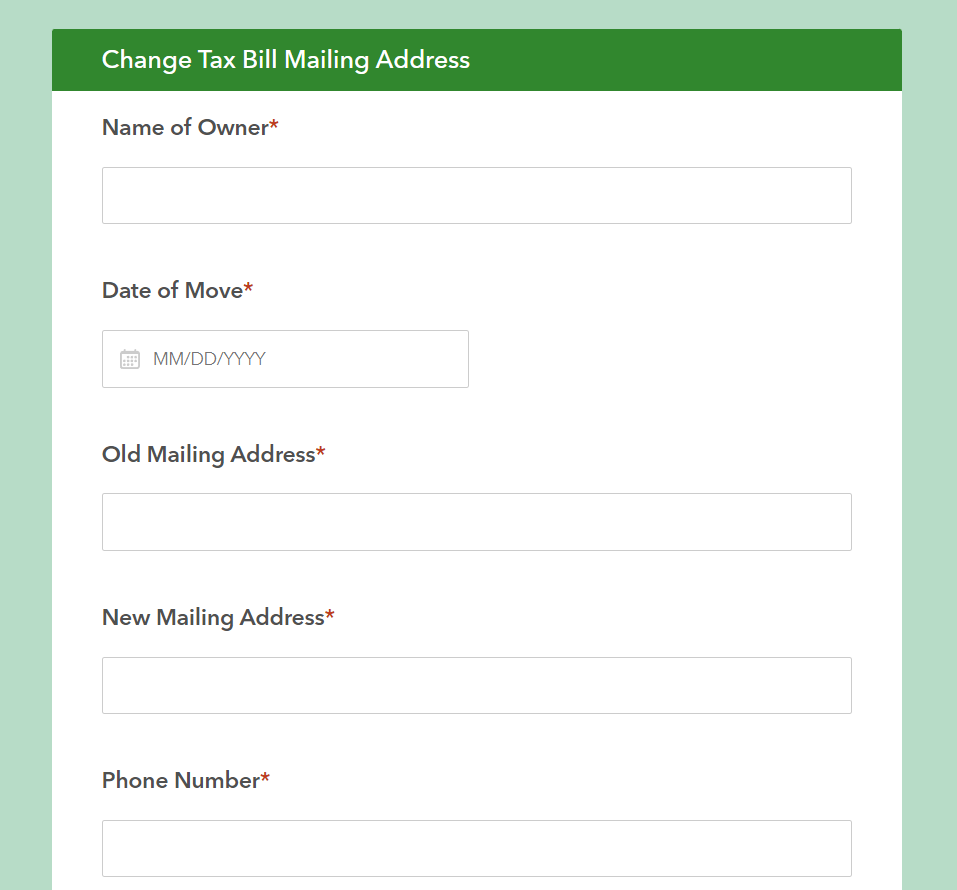
Data Collection and Automation
This survey form created with Survey123 allows the public to submit address changes on their own time without calling or coming into the office.
View ProjectSawyer County COVID-19 Response
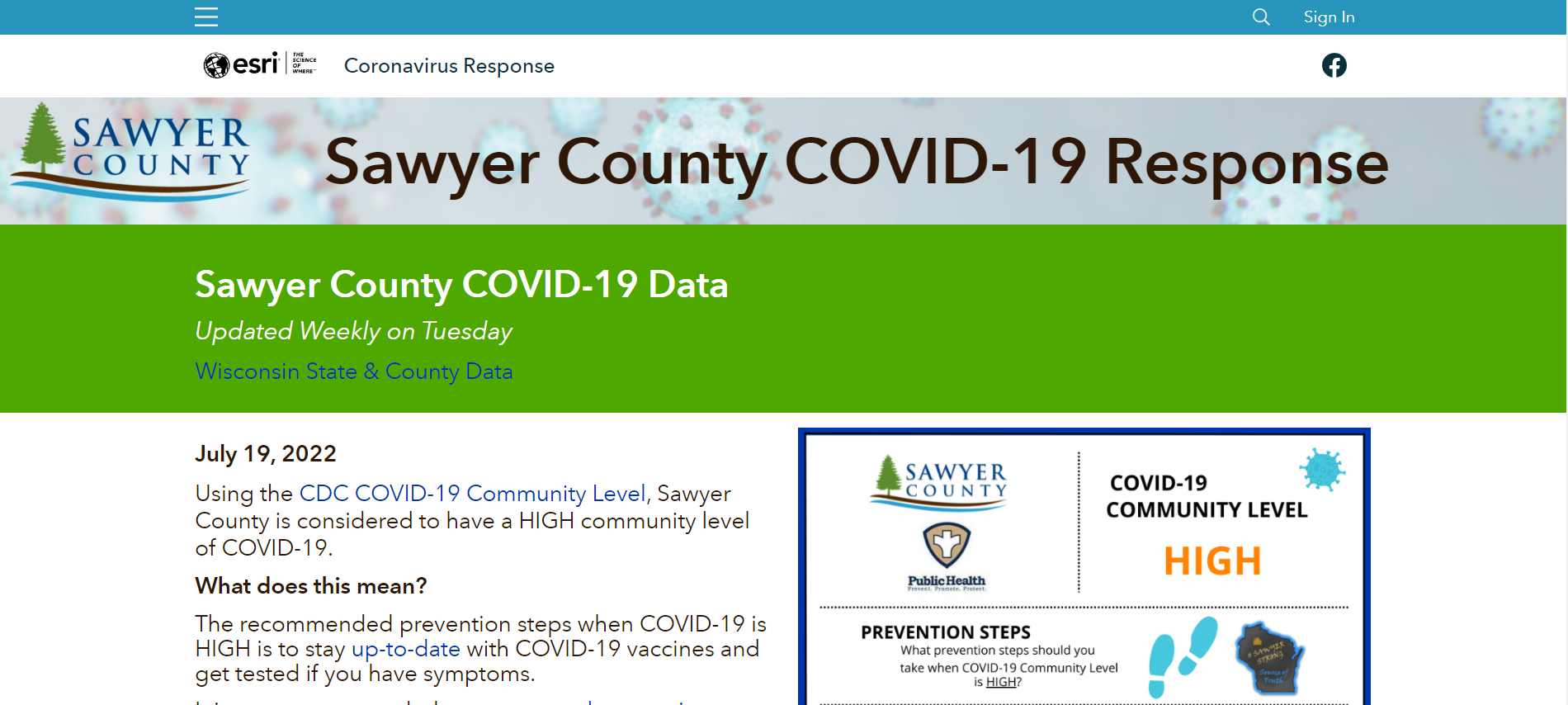
ArcGIS Hub
My coworker and I collaborated with the county's Public Health Department to create a website that they could update regularly with new COVID information.
View ProjectLiDAR Processing
Data Analysis and Manipulation
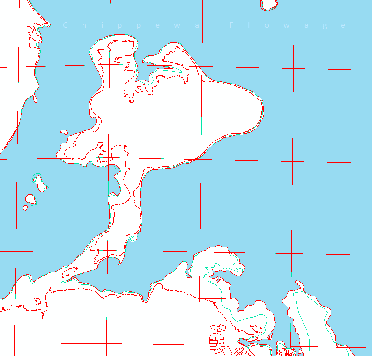
Our county purchased LiDAR and some of its derivatives in 2017. Using that data, I updated parcel lines and hydro lines and created building footprints for the entire county.
View ProjectImproving Parcel Boundaries
Data Manipulation
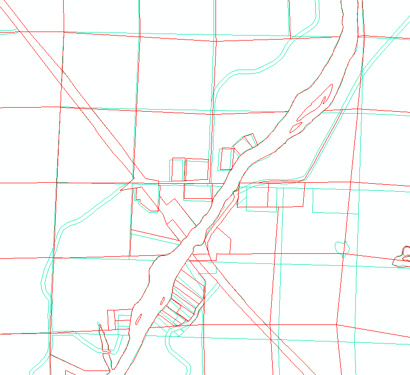
For the past 6 years, I have been in charge of updating parcel boundaries when they change or when new surveys are recorded that allow for greater mapping accuracy.
View ProjectResearch Paper
Data Analysis
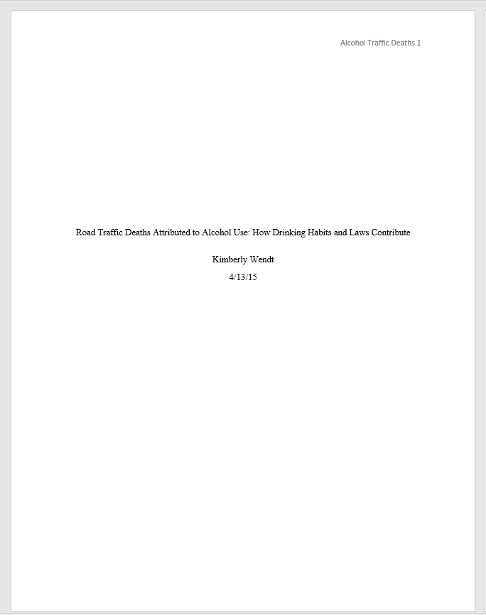
Using statistics, I analyzed and wrote a paper on the impact of drinking habits and laws on road traffic deaths attributed to alcohol use.
View ProjectAnalyzing Landscape Fragmentation
Data Analysis
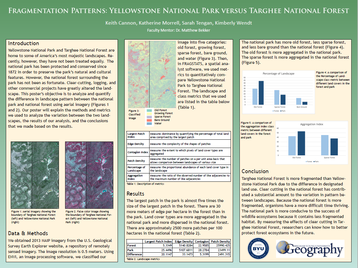
Using aerial imagery and classification software, we analyzed the differences in landscape between Yellowstone National Park and Targhee National Forest.
View ProjectHistoric Nauvoo Tax Parcels
Web Map
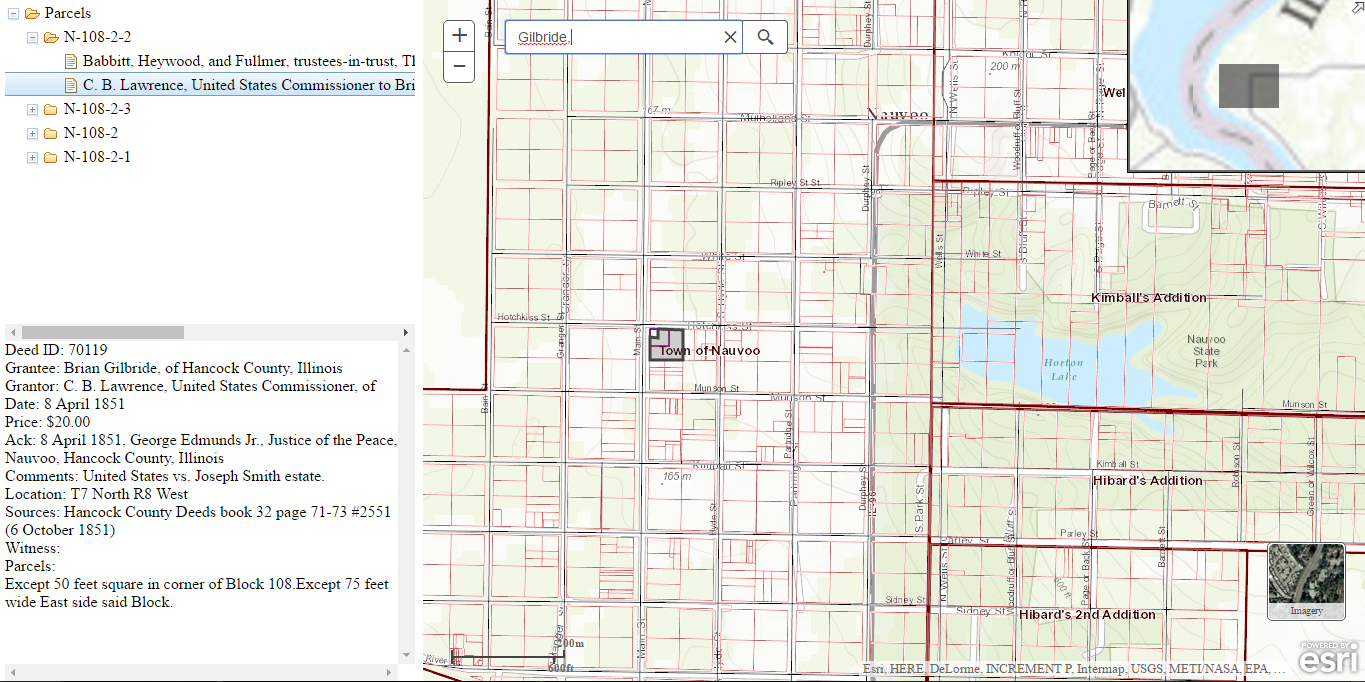
I built an interactive web map using historical data of Nauvoo, Illinois parcels, deeds, and people. Functionality included selecting parcels to view associated deeds and searching for people to view associated parcels.
View ProjectHarold B. Lee Library Floor Maps
Cartography
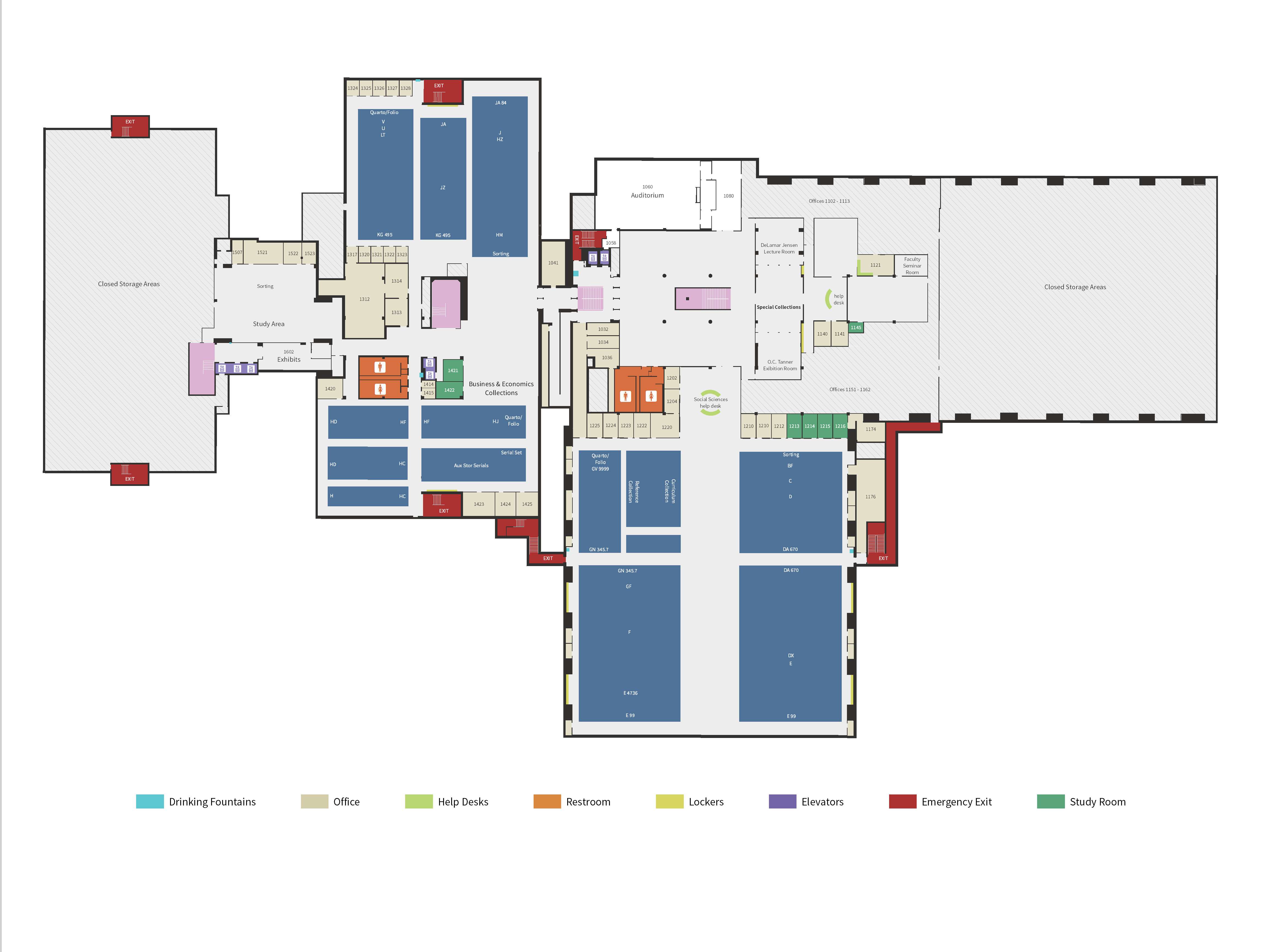
Our student-run business, Think Spatial, designed floor maps for the library at BYU. There were three of us working together on this project.
View ProjectWomanStats
Cartography
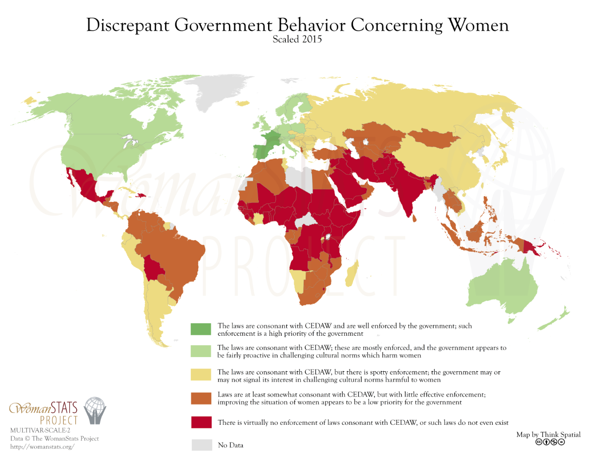
A collection of maps that is updated every few months by our student-run business, Think Spatial. I was the project lead and put together about 10-15 of these maps.
View ProjectLDS Schools
Cartography
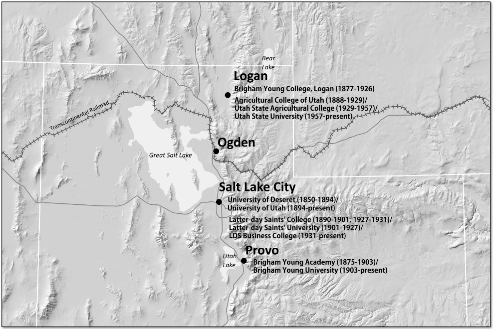
A simple black-and-white map showing historic and modern higher-education institutions associated with the LDS church in Utah.
View ProjectHawaii Tourism Maps
Cartography
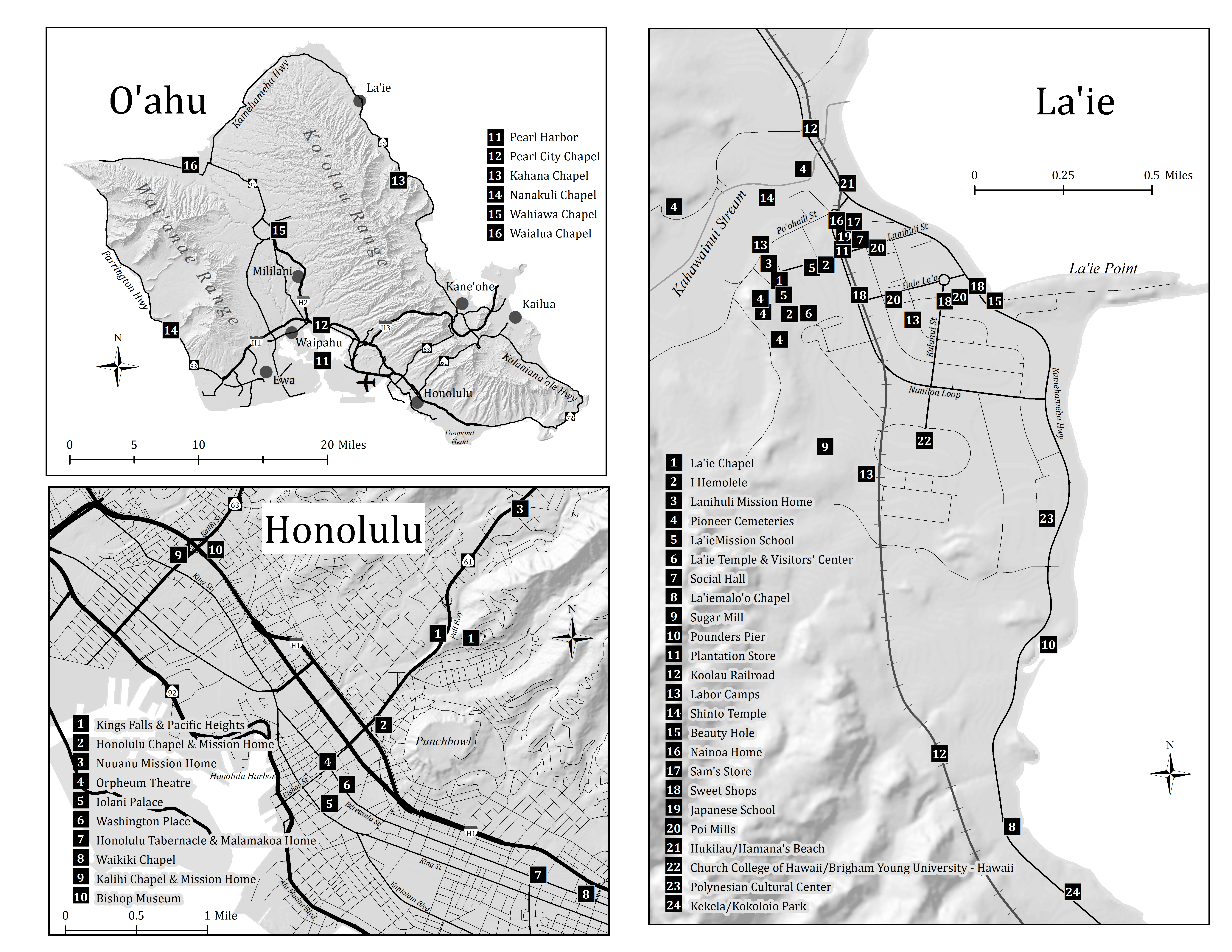
Think Spatial, our student-run business, was hired to create a set of tourism maps for all of the major Hawaiian Islands. I produced half of these maps.
View ProjectSouthern Utah County Highway
GIS Analysis
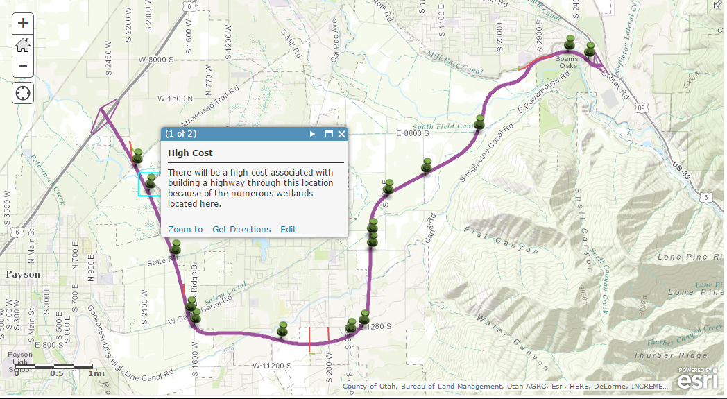
The purpose of this project was to find a low-cost route that connected two major roads in Southern Utah County. The result was produced using a cost-path analysis.
View ProjectMultigenerational Household Thematic Map-Essay
Cartography
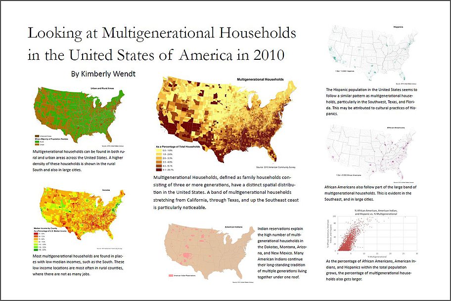
For this project, we were asked to come up with a story that could be told through maps. Design was particularly important for this project.
View ProjectPayson Utah Road Map
Cartography
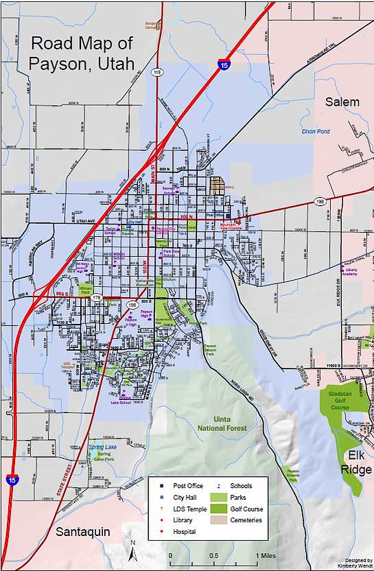
Another project focused on design, but on a large scale. Labeling was an emphasis for this map.
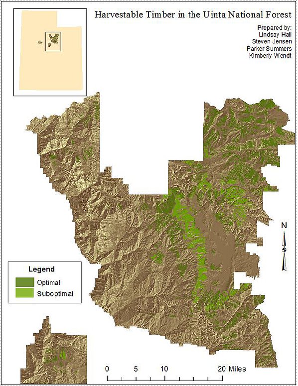
View ProjectTimber Harvesting in the Uinta National Forest
GIS Analysis
This was my very first GIS project. As a group of students, we worked together to analyze where timber could be harvested based on a set of constraints. Spatial analysis was the main focus of this project.
View Project