LiDAR Processing Data Analysis and Manipulation

Project Description
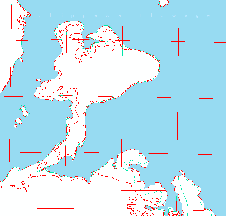
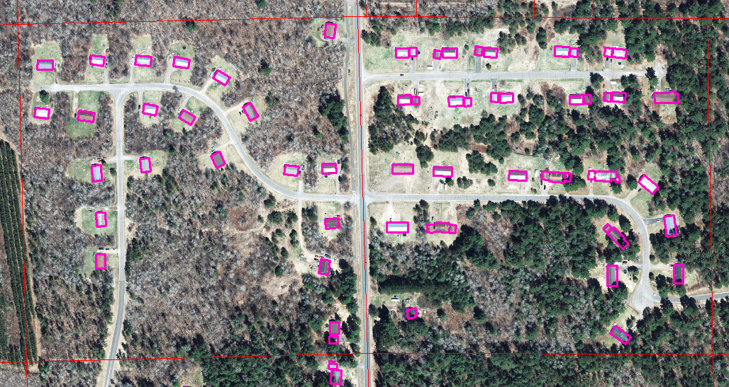
Our county obtained LiDAR data and some receivables in 2017. After obtaining this data, I used the receivables to create or update three different products. First, I updated the shorelines of all of our water features to match the LiDAR data. To do this, I created a buffer around our old water feature and then completed a spatial join to add the data attributes to any of the LiDAR water features contained within the old water feature. Next, I updated many of the parcels located on the Chippewa Flowage. Most of the deeds for this area were for land above a particular elevation. I used the contour lines to select the correct elevation and copy it into the parcel lines. For the last product, I created building footprints for the entire county using an ArcGIS Pro Task.
Skills Used
- ArcMap
- 3D Analysis
- Spatial Analysis
- Spatial Joins
- ArcGIS Pro Task

Back to Projects