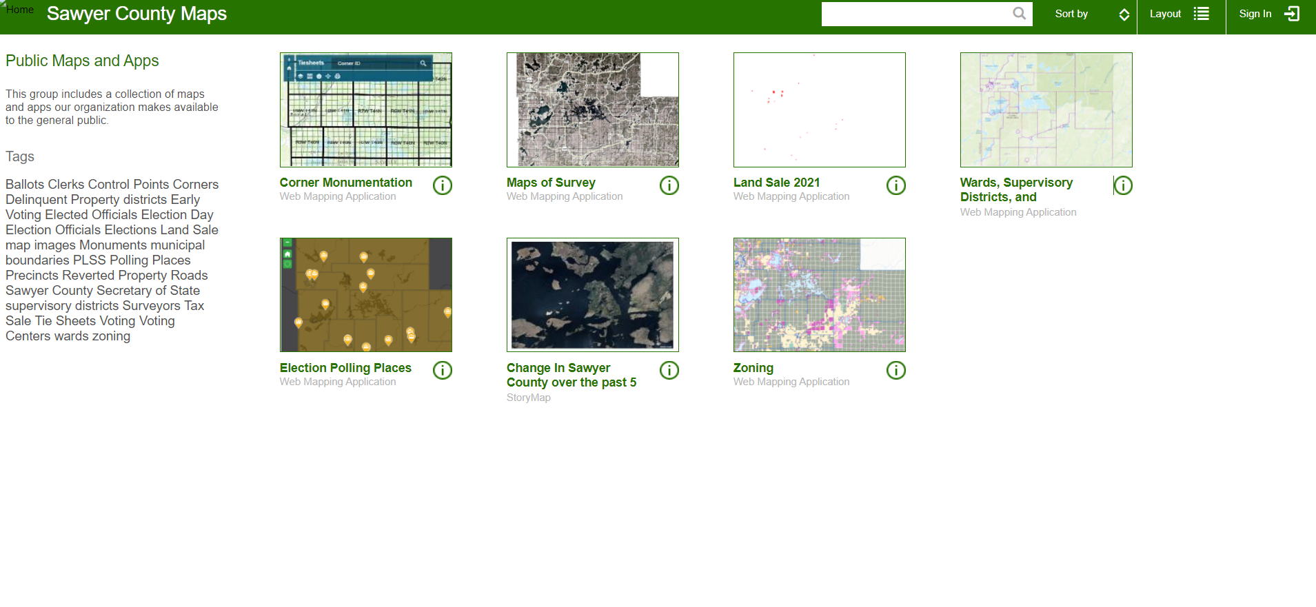
Interactive Map Gallery Web Maps
Project Description
My coworker and I created the county's first interactive online maps. Several of these maps are collaborations with other departments, specifically the Zoning, Treasurer, and Surveyor departments. Most of these maps were created in ArcGIS Pro and then published to our Portal for ArcGIS.
Skills Used
- ArcGIS Pro
- ArcGIS Enterprise
Back to Projects
