Improving Parcel Boundaries Data Manipulation

Project Description
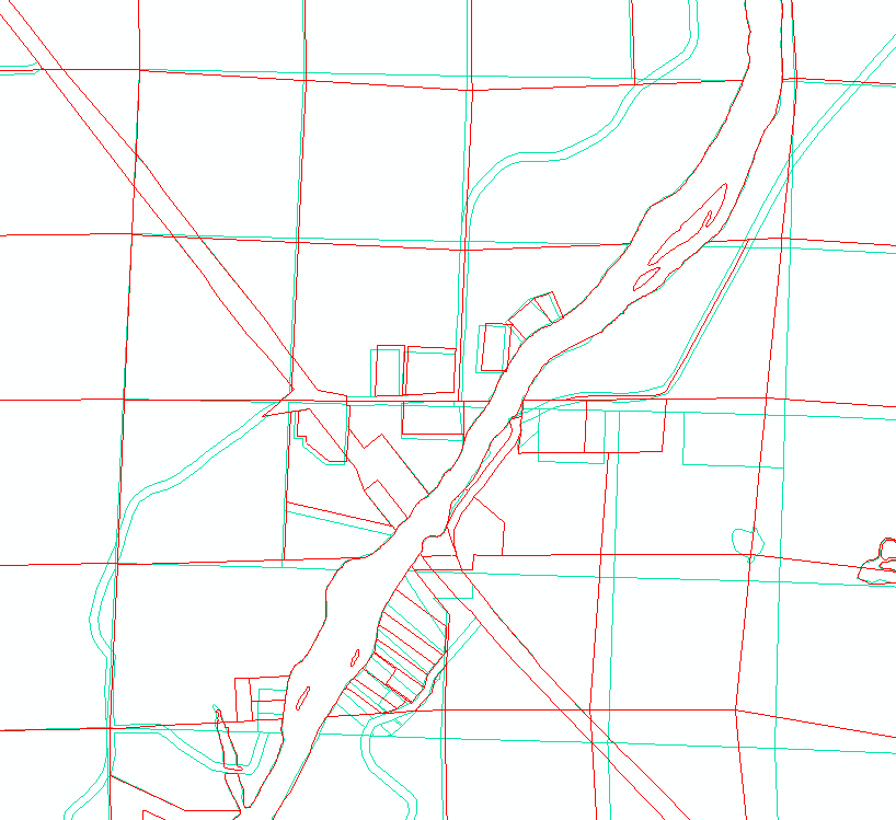
For the past six years, I have been responsible for mapping in new parcels and improving the accuracy of the county's parcel lines in our enterprise geodatabase. This picture is of one section of the county that I re-mapped to match new monumented PLSS section corners. Some of the parcel boundaries were over 700 feet away from where they actually exist on the ground.
Skills Used
- ArcMap
- Data Research
Back to Projects