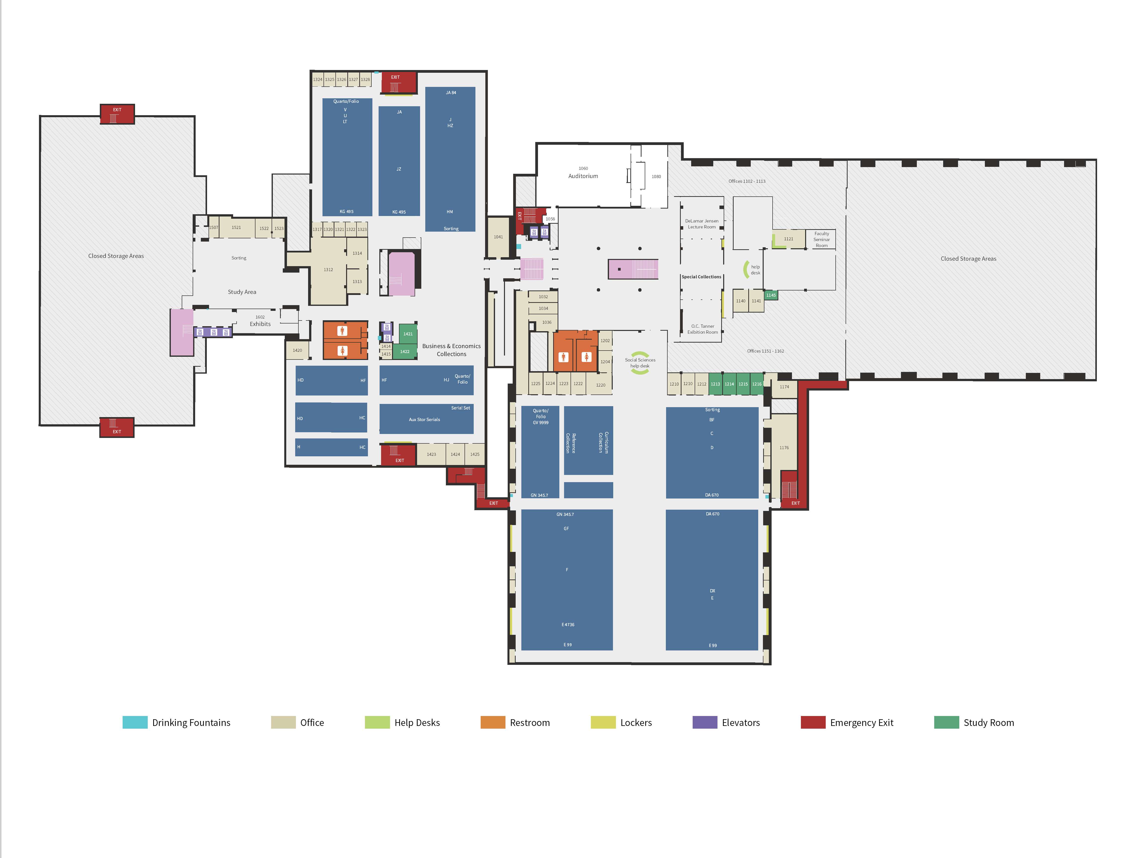
Harold B. Lee Library Floor Maps Cartography

Project Description
Think Spatial was tasked with recreating the HBLL floor maps. To do this, we took the existing CAD data and converted it to GIS data. We had to measure all of the shelves, since they weren't included in the CAD data. We organized the GIS data into the ESRI Local Government Model so it will be easy to use the Campus Place Locator web application in the future. I was involved with designing the first floor of the library.
Skills Used
- Map Design
- Data Collection
- CAD to GIS
Back to Projects